Magnetic Surveys
Magnetic surveys measure variations in the Earth’s magnetic field.
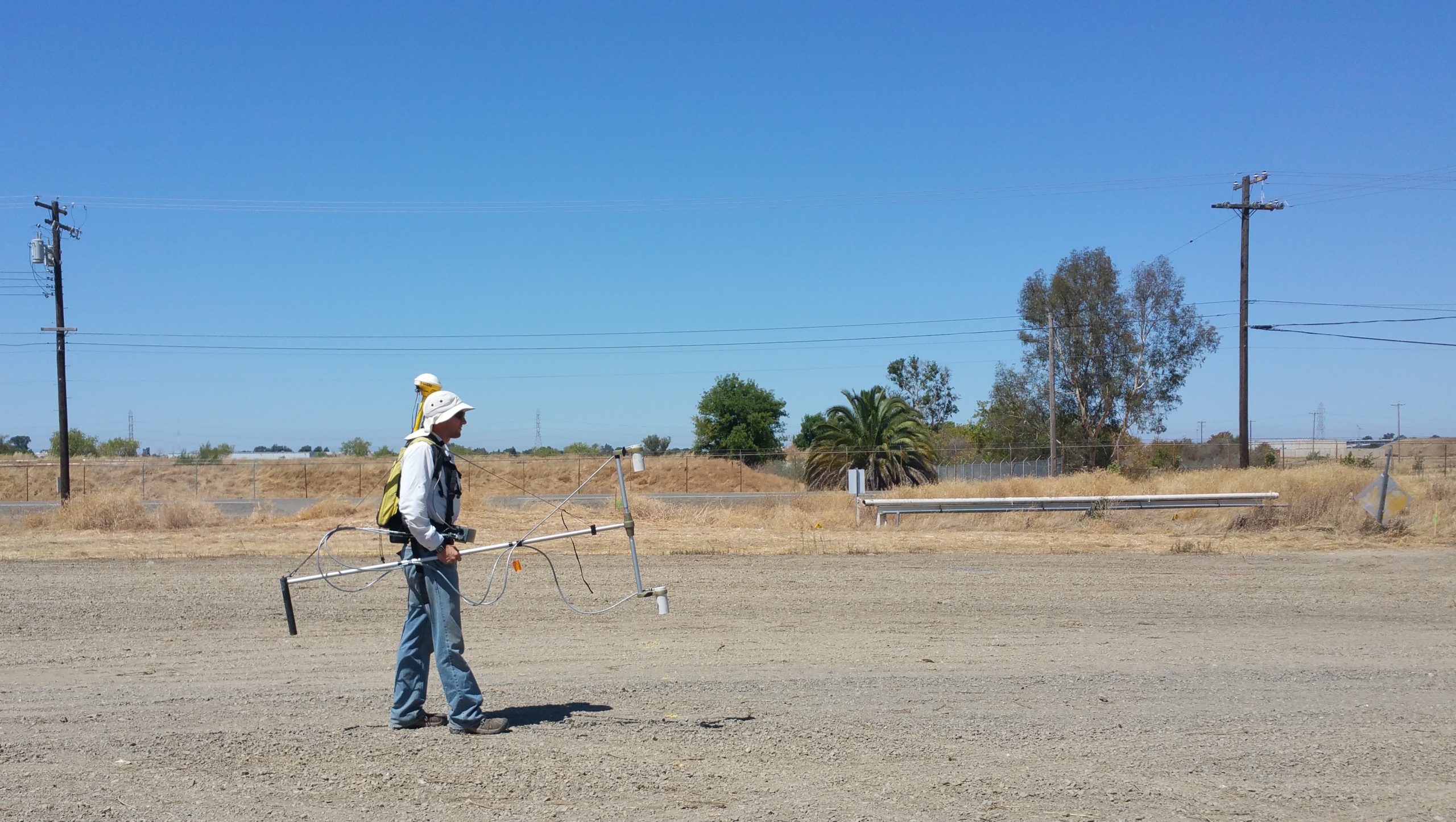
- Magnetic surveys can be performed over a variety of terrains, usually with just one person, relatively quickly.
- We collect Magnetic data in a grid pattern, but it can also be collected along a planned path.
- Our magnetic surveys utilize GPS technology to ensure our data location is accurate.
- Magnetic data is depicted as a contour map.
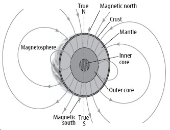
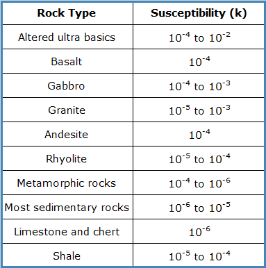
Magnetic Surveys can detect metallic objects not because they are magnetic but because the Earth’s magnetic field is enhanced much more significantly in metals than in most other materials (soil, rock). The ability of a material to improve the local magnetic field is known as magnetic susceptibility, denoted as “k.”
In most environmental and engineering investigations, magnetic data collected for sedimentary layers will not show sufficient contrast to be of use in geologic mapping.
Magnetic surveys are beneficial though in the detection of human-made materials, such as
- Municipal trash
- Industrial waste, (which often contains ferrous metals)
Magnetic surveys can be useful in the detection of:
- Landfills
- Industrial waste
- Buried building foundations
- Archaeological sites such as graveyards (depends on the content of the site)
Magnetic surveys can also be useful in the detection of specific ferrous objects such as:
- Underground storage tanks (USTs)
- Utilities
- Reinforced concrete
- Unexploded ordnance
- Capped wells